The Southern Sierra Nevada mountains have broken the record for the largest snowpack on record, beating the winter of 1982-83, and another major storm is set to arrive Monday and last through Wednesday, Andrew writes.
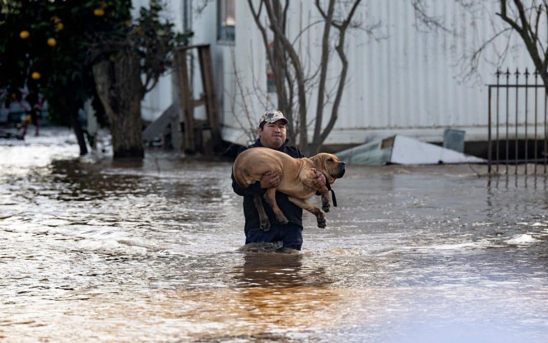
Threat level: This next event is likely to bring even more dangerous flooding to Northern, Central and portions of Southern California than the atmospheric river event that hit Friday into the weekend.
- This is because the ground is already saturated, and everything from streams to large rivers could flood.
- Damaging winds are also likely, especially in Central California, including the San Francisco Bay Area.
Context: Studies show climate change is intensifying these events, since warmer air carries additional water vapor. Climate change is also yielding sharper swings between precipitation feast and famine in California.
Zoom in: The Weather Prediction Center issued a “moderate risk” of excessive rainfall for Monday and Tuesday in portions of the state, its second-highest alert level, and much of California is under flood watches for this period.
- Heavy rains and high elevation snow are expected to continue into Wednesday from another “Pineapple Express” atmospheric river.
- The moisture for this particular storm originates near Hawaii.

